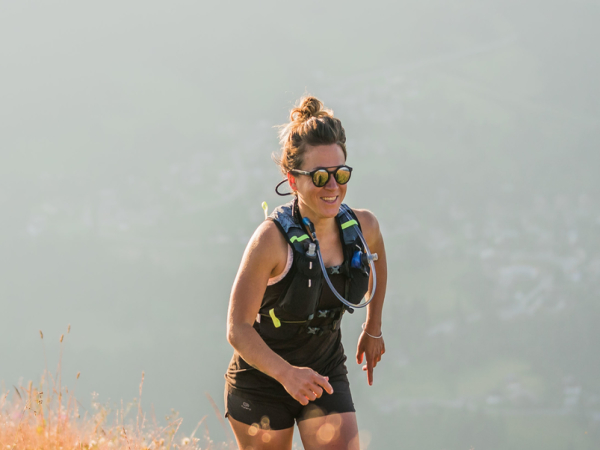
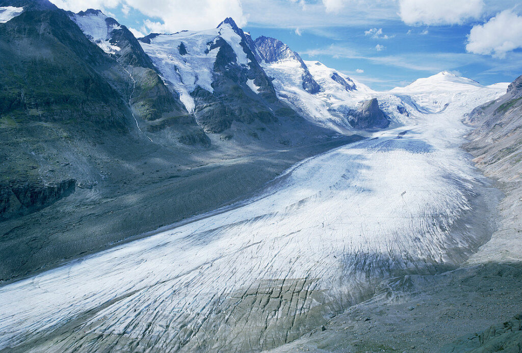
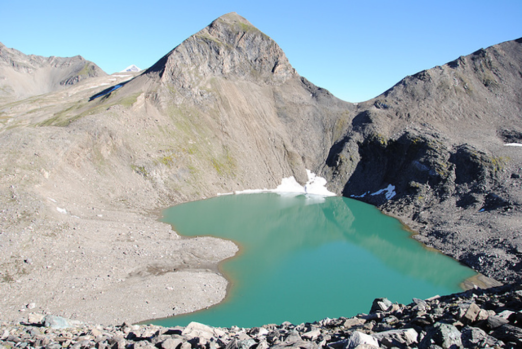
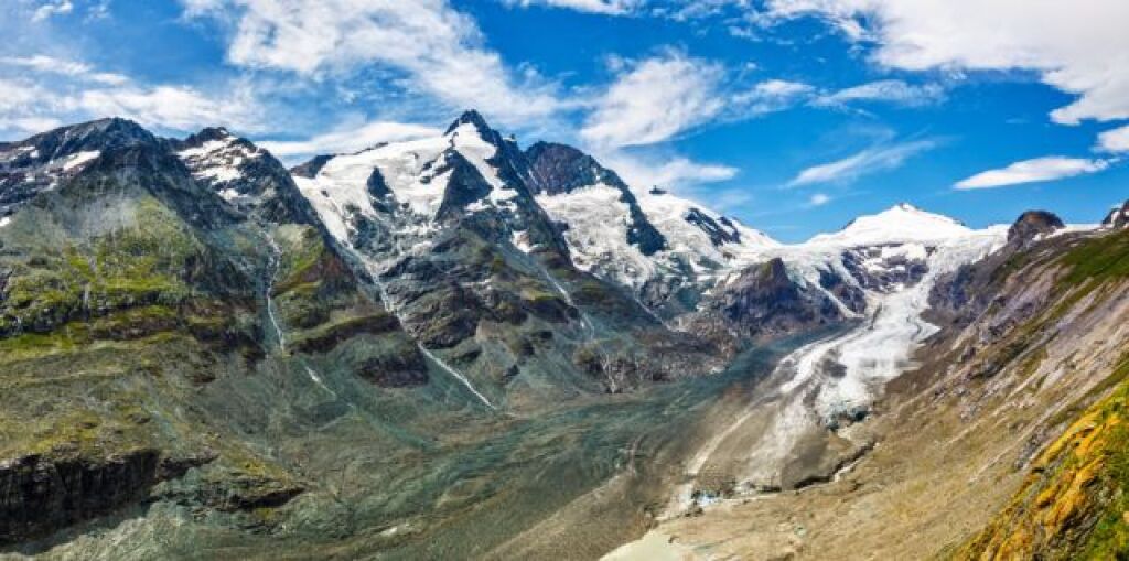
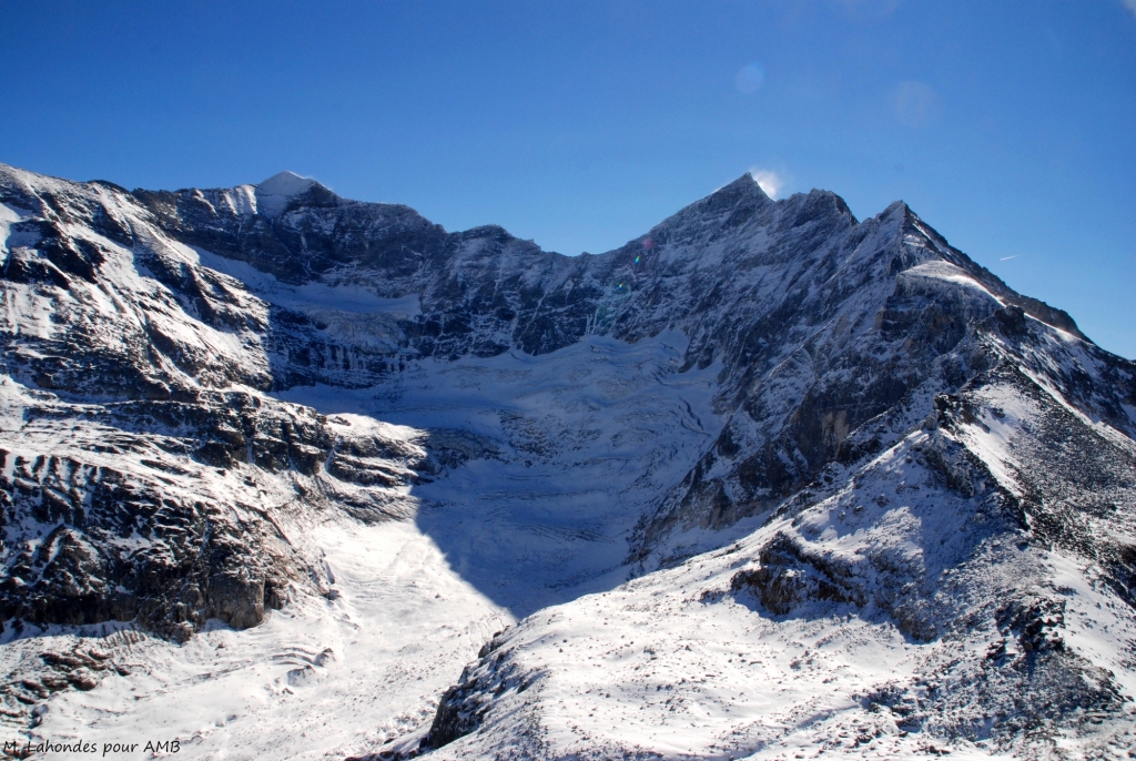
TOUR OF THE GROßGLOCKNER

Hiking details
7 Days 7 Days
Guided / with a guide Guided / with a guide
With baggage transportation With baggage transportation
Accommodation Classic (dormitory)
Level *** Level ***
From 1150 € From 1150 €

Around the austrian giant

This seven-day trek crosses the Hohe Tauern National Park for a complete tour around the Großglockner, Austria's iconic peak. The trails reveal the Pasterze glacier and its sparkling expanses, crossing deep gorges and mineral passes, remnants of the last ice age. Alpine meadows, glacial valleys and turquoise lakes are home to unique flora and fauna. Each stage offers spectacular panoramas where the power of the glaciers, the grandeur of the mountains and the beauty of the landscapes are revealed in all their intensity.

You will like

  • Tour around the iconic Großglockner, Austria's highest peak
  • Journey to the heart of the Hohe Tauern National Park, the country's oldest national park
  • Views of the Pasterze Glacier, Austria's largest glacier
  • Discover the unique flora and fauna of the Austrian Alps
  • An itinerary revealing the ancient history of the Alps, from spectacular gorges to the remains of the last ice age
Lire les avis clients

Share on :

TOUR OF THE GROßGLOCKNER

From 1150 €

Contact us
Secure payment
Secure payment

Circuit

Hiking details

See the technical informations

Dates & prices

Dates Status Prices
Secure payment
Secure payment

Optional for your private group: tour including ascent of the Großglockner from 1800 € per person

THE PRICE

The price includes

  • Guiding by a qualified mountain leader;
  • Full board meals, snacks, nights in mountain huts, lodges or hotels, any shower tokens in mountain huts and tourist taxes;
  • Road transfers;
  • Access to your main luggage on days 2, 4 and 5;
  • Organisation costs.

The price does not include:

  • Personal expenses (drinks, etc.), touristic visits;
  • Access to your main luggage on days 1, 3 and 6;
  • Cancellation insurance;
  • The return journey from your home to the point of departure/arrival.

The price is all inclusive from departure to end point.

Personalised tour available

Contact us !

The itinerary day by day

Day 1

Meeting at 9 am at Kaprun bus terminal with your mountain leader.

KAPRUN - RUDOLFSHÜTTE – KALS AUF GROSSGLOCKNER​
The adventure begins with a bus transfer followed by an alpine lift to reach the start of the route at Lake Mooserboden. A well-defined moraine ridge then opens the way to the alpine highlands. The ascent under the Kapruner Törl becomes more demanding, carried by unstable slabs. The trail finally plunges into the Übelkar cirque, runs alongside the Vorderes Eisbichl, then joins the turquoise waters of Lake Tauernmoosee before reaching the overnight accommodation overlooking the Weisssee.
Night in a hotel dormitory, without luggage.
5.5 hours walk / Elevation: + 500m ; - 850 m / 13 km

Day 2

RUDOLFSHÜTTE – KALS AUF GROSSGLOCKNER
Leaving the comfort of the Berghotel Rudolfshütte behind, the trail climbs towards the Kalser Tauern mountains, suddenly revealing the immense Upper Dorfertal valley below. The trail then descends into the valley, runs along the shores of Lake Dorfer and continues towards the Daberklamm gorge, before ending in the village of Kals am Großglockner.
Night in hotel, in 2 or 3 people rooms.
6 hours walk / Elevation: + 280 m ; - 1260 m / 18 km

Day 3

KALS AUF GROSSGLOCKNER - SALMHÜTTE
The route first follows Dorfstrasse to the Ködnitzbach stream, which it follows to the car park below Medelspitze. Then begins the long climb of the day to the Glorerhütte, dominated by the Berger Törl pass. The rest of the stage is more peaceful, describing a loop through undulating terrain to the Salmhütte, where the day ends.
Night in refuge, in dormitory, without the luggage.
7 hours walk / Elevation: + 1660 m ; - 350 m / 16 km

Day 4

STOCKERSCHARTE – GLOCKNERHAUS
Leaving the Salmhütte, the trail enters the picturesque Leitertal valley and follows the Graf Salm trail to the Leiterbach stream, surrounded by vibrant alpine meadows. As you approach the reservoir, the route can either continue directly to the accommodation for a shorter stage, or optionally climb up to Kaiser-Franz-Josefs-Höhe, where majestic panoramic views of the Alpine giants, including the Grossglockner, reward your efforts before the descent to the evening's refuge.
Night in refuge, in dormitory.
3 hours walk / Elevation: + 240 m ; - 750 m / 7 km
5 hours walk / Elevation: + 520 m ; - 1020 m / 13 km (with Kaiser-Franz-Josefs-Höhe option)

Day 5

PFANDLSCHARTE – FERLEITEN - FUSCH
From the Glocknerhaus, the trail climbing up to the Untere Pfandlscharte offers breathtaking views of the Pasterze glacier and the Grossglockner. At the pass, the descent begins through a mosaic of landscapes. Often challenging due to residual snow, the crossing to Ferleiten remains a unique adventure. Once at the bottom of the valley, a bus takes you to your evening accommodation.
Night in hotel in twin room.
6.5 hours walk / Elevation: + 600 m ; - 1590 m / 16 km

Day 6

FUSCH – GLEIWITZERN HÜTTE
The route leaves the village of Fusch, with a picturesque detour via the Hirzbach waterfall before reaching the Hirzbachtal valley. The path then climbs steeply towards Feistalpl and crosses the Grabenschlucht gorge, crossing the Hirzbach stream to reach Hirzbachalm. A left turn then opens onto gentler slopes and vast meadows leading to the Gleiwitzer hut.
Overnight stay in a dormitory-style refuge, without luggage.
4.5 hours walk / Elevation: + 1360 m / 9 km

Day 7

BRANDLSCHARTE - KAPRUN
For this final stage, the ascent leads to the Südliche Brandlscharte pass, before a long slope opens up towards the Rosskopf. The descent then continues towards Harleitenalm, then across peaceful pastures to the car park of the Kaprun glacier cable car. Return to Kaprun by bus.
4 hours walk / Elevation: + 210 m ; - 1460 m / 9 km

End of the tour Saturday around 3.00 pm in Kaprun.

The programme has been prepared on the basis of the latest information available at the time of writing; unforeseen circumstances are always possible and situations beyond our control may alter the programme.

Personalised tour available, contact us...

The trip

LEVEL ***

Elevation: +/- 900m approximately per day.
Walking time: 5 to 7 hours per day.
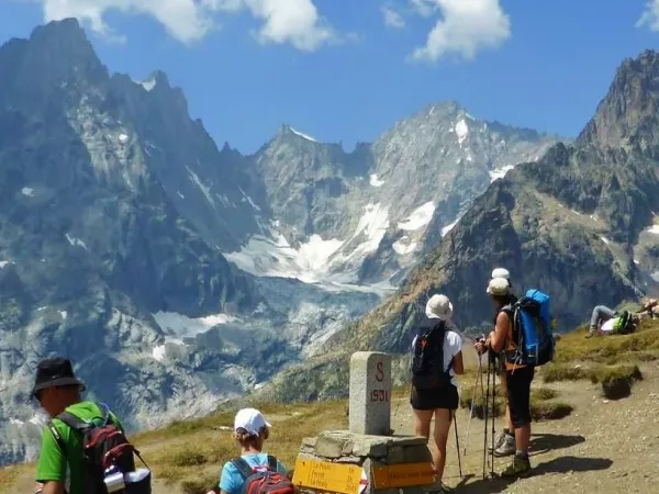
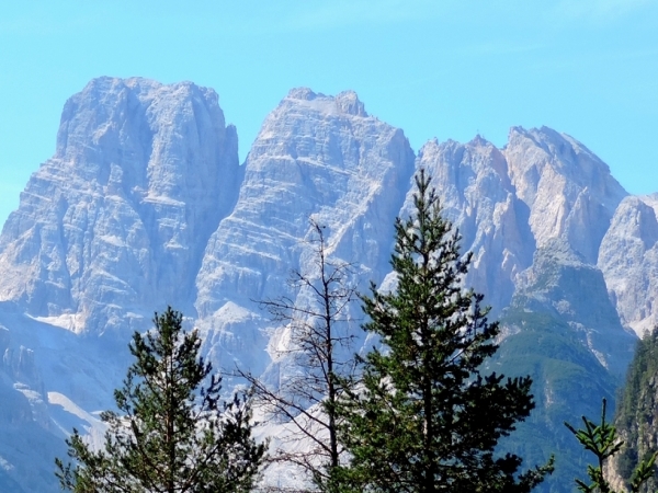
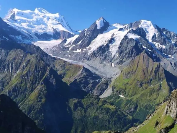
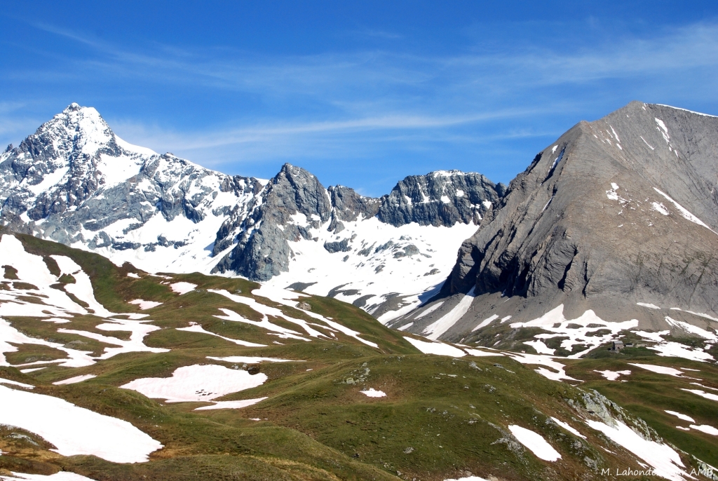
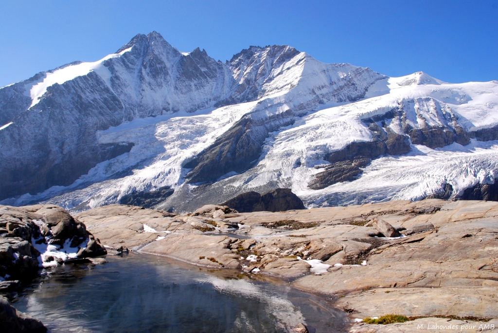
Type of trek: mountain hike on marked trails including gravel paths. 

You need to be in a good overall physical condition. Regularly practise an endurance sport such as walking, running, swimming or cycling, 3 to 4 hours a week. Your fitness training will make your walk easier and make it all the more enjoyable. Click here for a description of the different levels: levels of difficulty

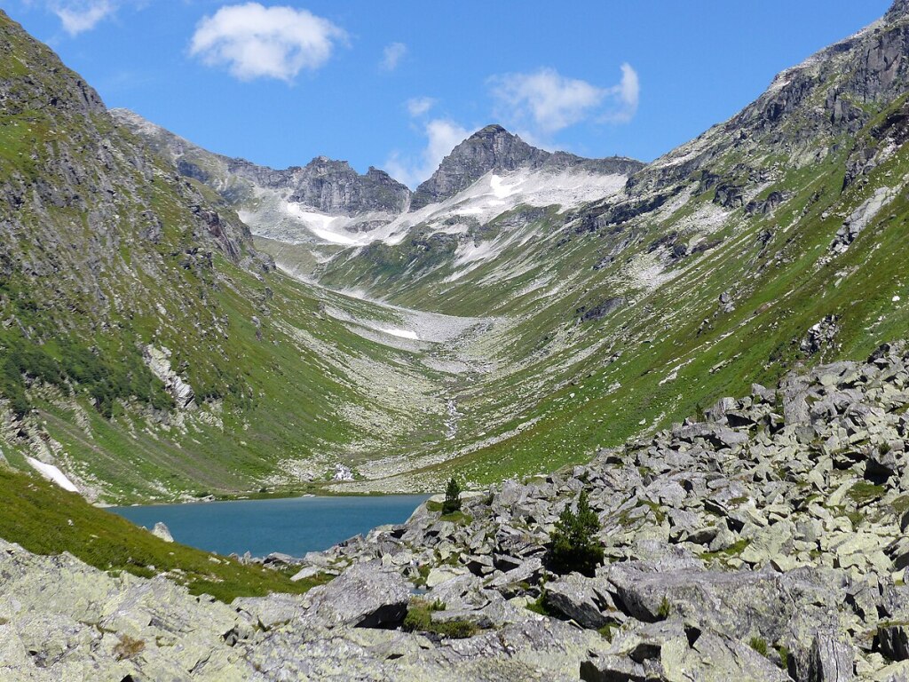
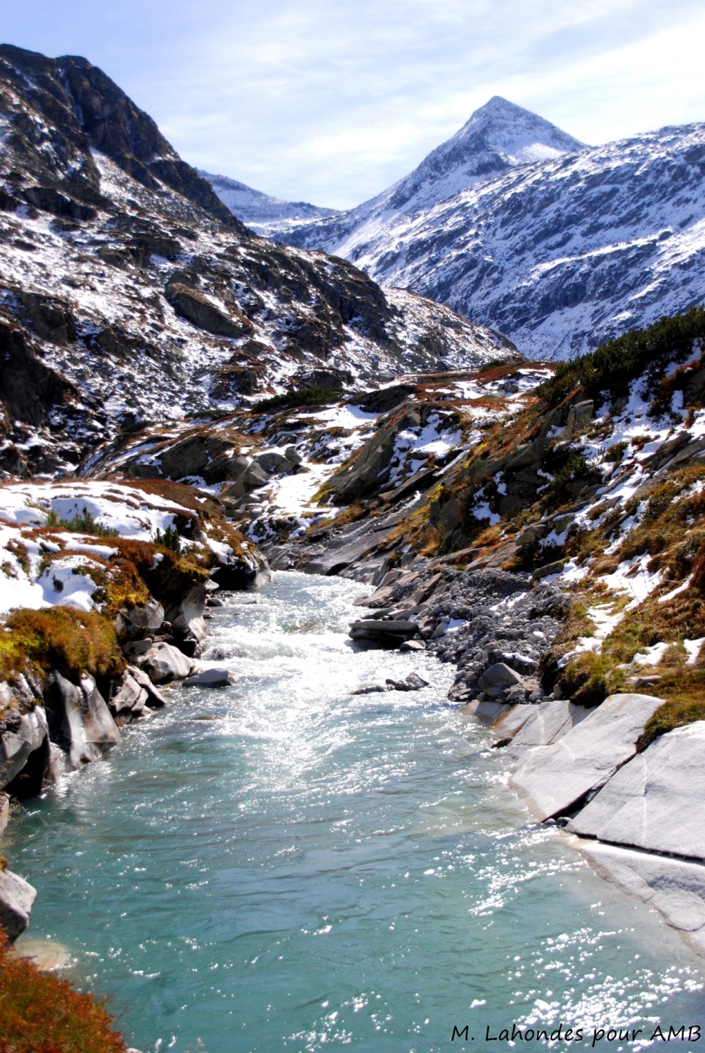
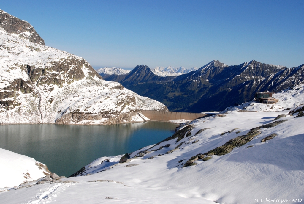
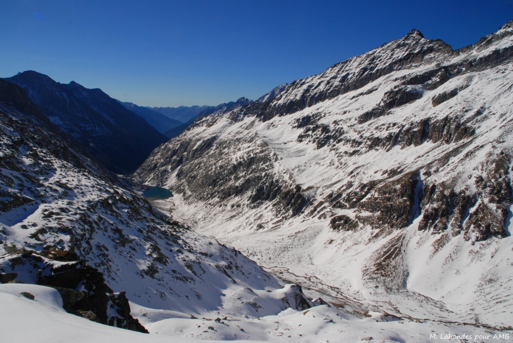
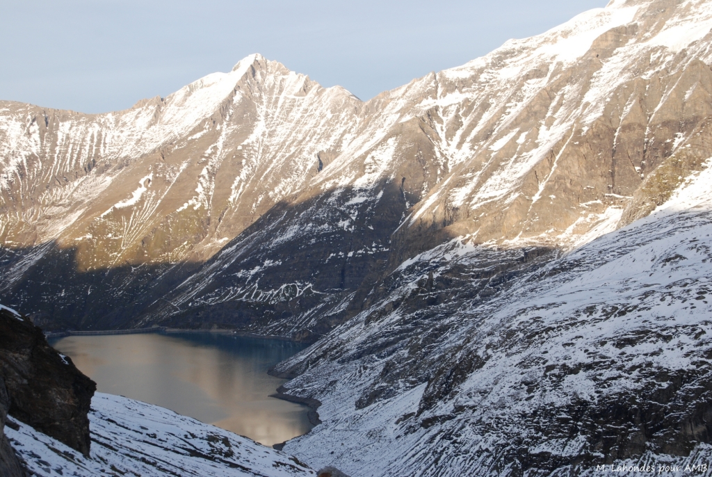
Please note: some névés will be present on the paths until the end of June, particularly on the North slopes. High mountain boots, gaiters and walking poles are essential. Be prepared!

GUIDING

Group between 6 and 14 people supervised by a qualified mountain leader.
The mountain guide leader may have to modify the programme to adapt it to the level of the participants and/or the natural conditions. As a last resort, he is the sole decision-maker.
It is usual to tip your guide at the end of the trek, according to your satisfaction. It is not mandatory but, it is very appreciated.
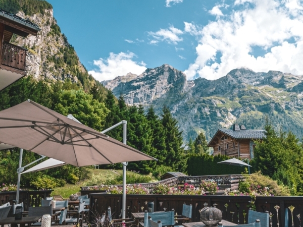
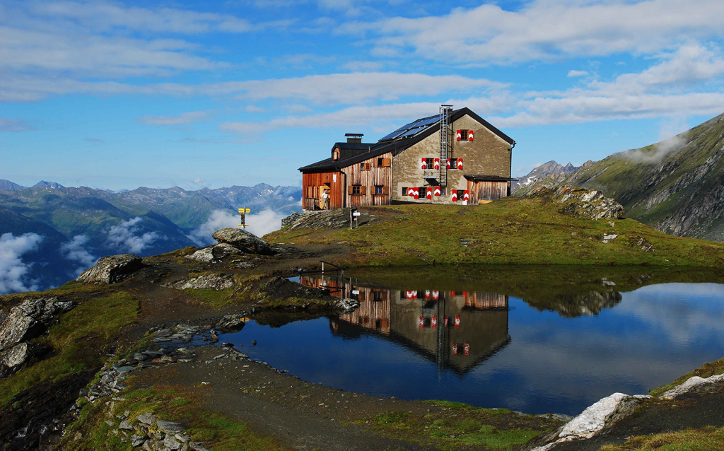
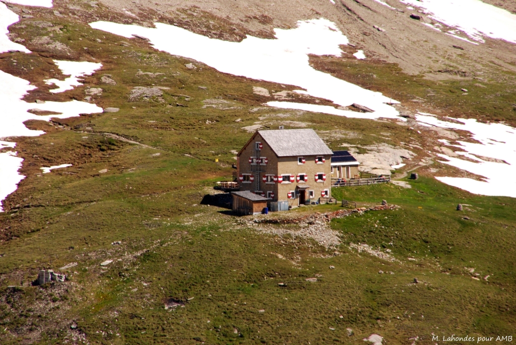
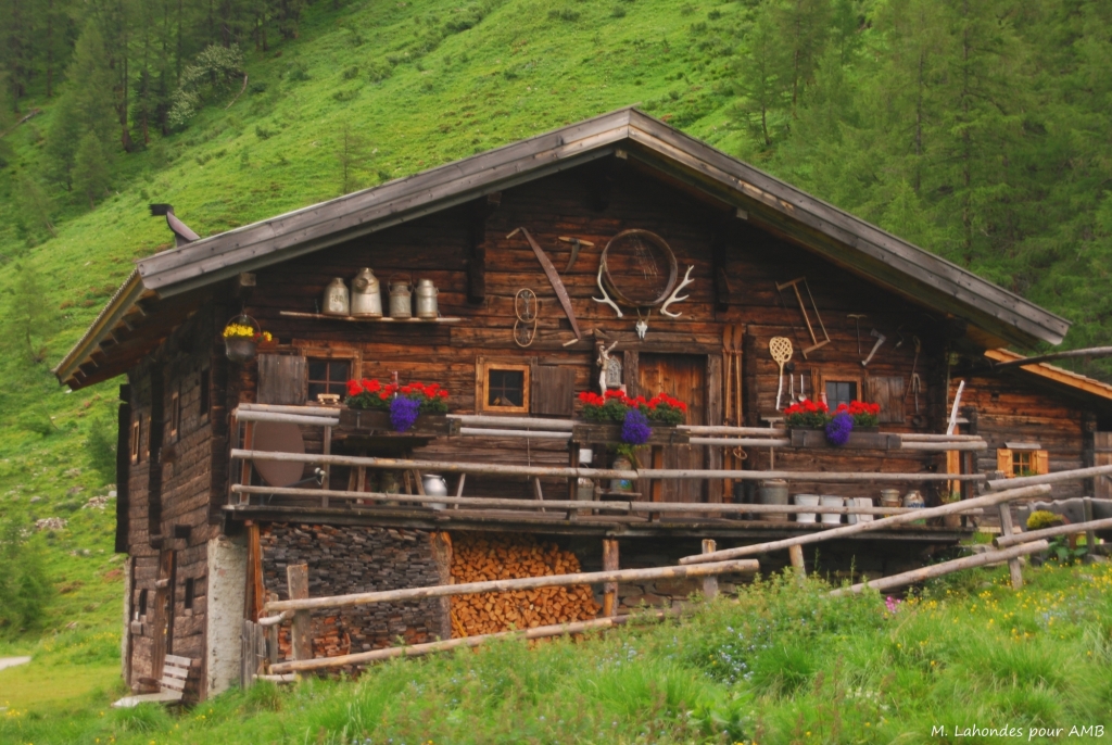
ACCOMMODATION

CLASSIC: 4 nights in refuge, in dormitory and 2 nights in hotel in multiple room.
All accommodation offers hot showers. However, due to increasingly recurrent periods of drought, access to showers is not guaranteed.

MEALS

Breakfasts and dinners are provided in each accommodation. Picnics are included. They are carefully and daily prepared by your mountain leader, comprising a variety of a healthy salads and local products or picnics will be taken at the accomodations.
We do our best to accommodate special diets (gluten-free, vegetarian etc.), but we ask you to bring extra food for your picnic lunches. Please inform us about your food allergies and special diets at the time of booking. We do our best to accommodate special diets (gluten-free, vegetarian, etc.). However, we encourage you to bring some additional products for your own picnics.

MAPS

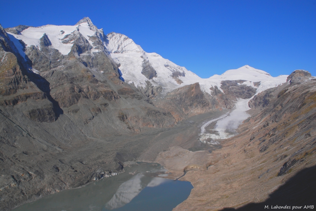
Map Alpenvereinskarte 34/2 Kitzbüheler Alpen Ost
Map Alpenvereinskarte 39 Granatspitzgruppe
Map Alpenvereinskarte 40 Glocknergruppe

Practical information

ACCESS TO THE STARTING POINT

Meet at 9:00 am on Sunday at the Kaprun bus station.

BY TRAIN AND BUS
Outbound: Paris Gare de l'Est or Paris Gare du Nord (depending on the chosen timetable) to Munich, then connection to Zell am See Bahnhof (approximately 8 hours from Paris). Regional bus (line 660) to Kaprun (20 mins).
Return: Same route, arriving at Gare de l'Est.
Timetables should be checked with SNCF, CFF and ÖBB

BY CAR
Motorway towards Saarbrücken - Munich - Salzburg, then Zell am See / Kaprun.
You can leave your car in the covered or outdoor car park in Kaprun (Kaprun Center or Parkhaus), both located near the bus stops serving Mooserboden and Zell am See.
>> All car parks in Kaprun

BY PLANE AND BUS
From Salzburg International Airport (SZG), take the bus to Zell am See and then Kaprun (approx. 2½ hours in total).

The hike ends on Saturday at around 4 p.m. in Kaprun.

ACCOMMODATION BEFORE AND AFTER THE HIKE

Accommodation in Kaprun:
Vötter's Hotel: +43 6547 71340
Das Alpenhaus Kaprun: +43 6547 7647
Kaprun Tourist Office: +43 6547 8080

INSURANCE

In accordance with regulations, we are insured for Professional Civil Liability. Under no circumstances can we replace your Personal Civil Liability. If you have chosen the EUROP ASSISTANCE repatriation insurance that we offer, Altitude Mont Blanc acts solely as an interface between the customer and the insurer. We cannot influence either party. We adhere to strict terms and conditions of sale. You are responsible for complying with the procedures for reporting any claims.

Before making any decisions, please contact EUROP ASSISTANCE.

CONTACT US

If you are running late, please contact the agency: +33 (0)4 50 79 09 16 or +33 (0)6 42 49 76 07

Equipment & luggage

EQUIPMENT LIST

Clothing

  • Walking trousers
  • Shorts (Bikini/swimsuit, just in case!)
  • Breathable or merino wool t-shirts
  • Breathable or merino wool leggings
  • Fleece or jumper
  • Lightweight down jacket
  • Wind stopper or Goretex jacket
  • Waterproof poncho + gaiters or Goretex trousers + waterproof rucksack cover
  • Pair of gloves and a warm hat
  • Sun hat or baseball cap
  • Walking socks (1 pair per day)
  • Sturdy walking boots with a good sole, already broken in
  • 1 change of clothes for the evening
  • A pair of comfortable shoes for the evening

Other Equipment

  • Toilet bag
  • Quick drying towel
  • Sunglasses and sun cream
  • Water bottle or Camelback (1.5 litre minimum)
  • Thermos
  • Knife, fork and spoon
  • Plastic lunch box/plate for your picnic lunches (0.40L to 0.50L)
  • Plastic cup for coffee
  • Small First Aid kit (antihistamine, ibuprofen, Compeed type blister pads...)
  • Survival blanket
  • Head torch or hand torch
  • Sleeping bag liner sheet and pillowcase (blankets provided at accommodation)
  • Two adjustable walking poles (highly recommended)
  • Identity card or passport

BACKPACK

Bring a comfortable backpack of 40 to 50 litres for your personal belongings for the week and think to keep a little room to carry a picnic and snacks.

Leave on your own for 2 or 3 days or more

In the "weight is the enemy" feature, we give you some tips on how to save a few hundred grams. For example, for your toiletries: a simple plastic zip bag or a small plastic box to avoid accidental compression.

  •     Hotel-size soap is generally enough for a week
  •     A tube of toothpaste 3/4 full will do the trick
  •     Shaving foam: a small sample can
  •     A small microfibre towel
  •     A small bottle of shampoo
  •     A travel toothbrush

Pharmacy: in addition to your personal medicines, bring :

  •     Elastoplast or hook-and-loop tape
  •     Plasters to protect against blisters, such as Compeed
  •     A small pair of scissors, thread and needle
  •     A small tube of sun cream and lip balm

Now all you have to do is to apply this recipe to your entire bag!

TOUR OF THE GROßGLOCKNER

From 1150 €
Contact us
Secure payment Secure payment

Discover more hikes

TOUR OF THE MATTERHORN & BREITHORN SUMMIT (4164m)

TOUR OF THE MATTERHORN & BREITHORN...

  • Duration : 6 days
  • Guided / with a guide
AOSTA VALLEY GRAN PARADISO

AOSTA VALLEY GRAN PARADISO

  • Duration : 7 days
  • Guided / with a guide
FROM CHAMONIX TO ZERMATT

FROM CHAMONIX TO ZERMATT

  • Duration : 7 days
  • Guided / with a guide
VANOISE HIGH PASSES

VANOISE HIGH PASSES

  • Duration : 6 days
  • Guided / with a guide

Need some
information ?

Find a
hike

Subscribe to our Newsletter...

And get informed about all our offers and news !