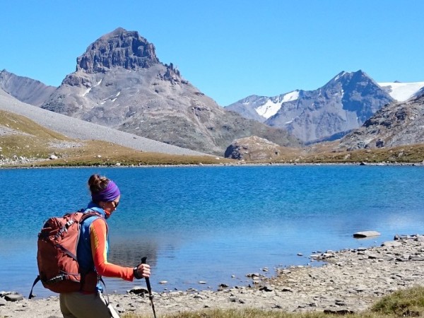
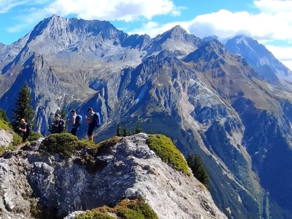
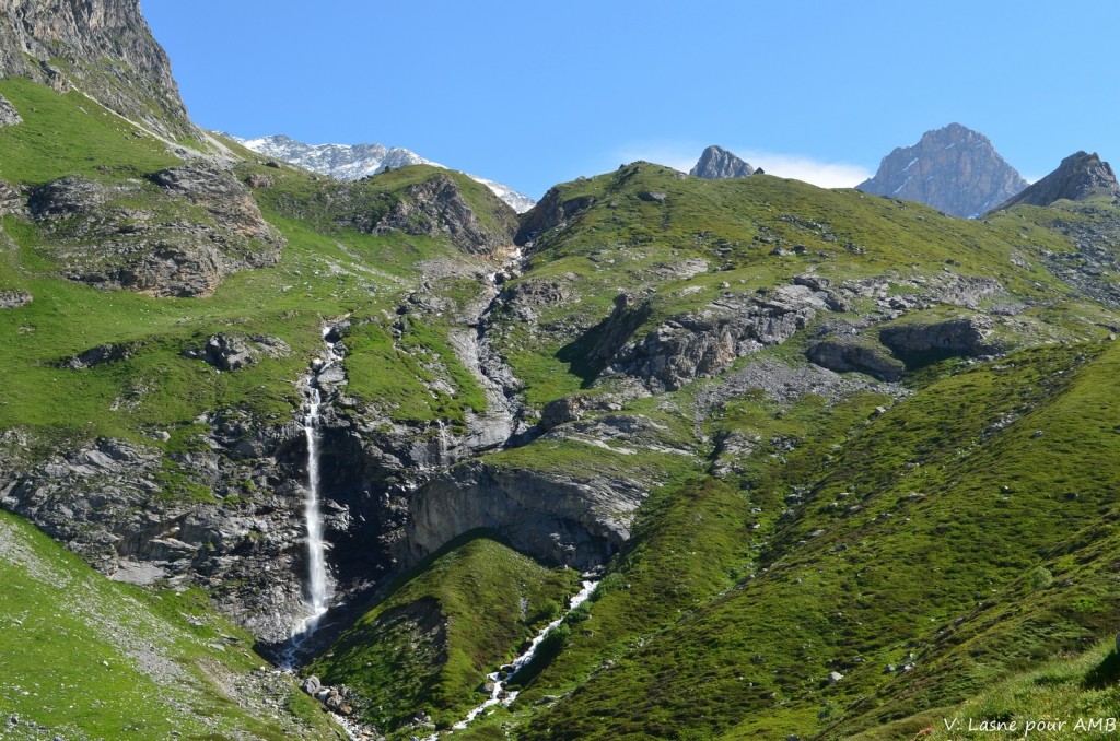
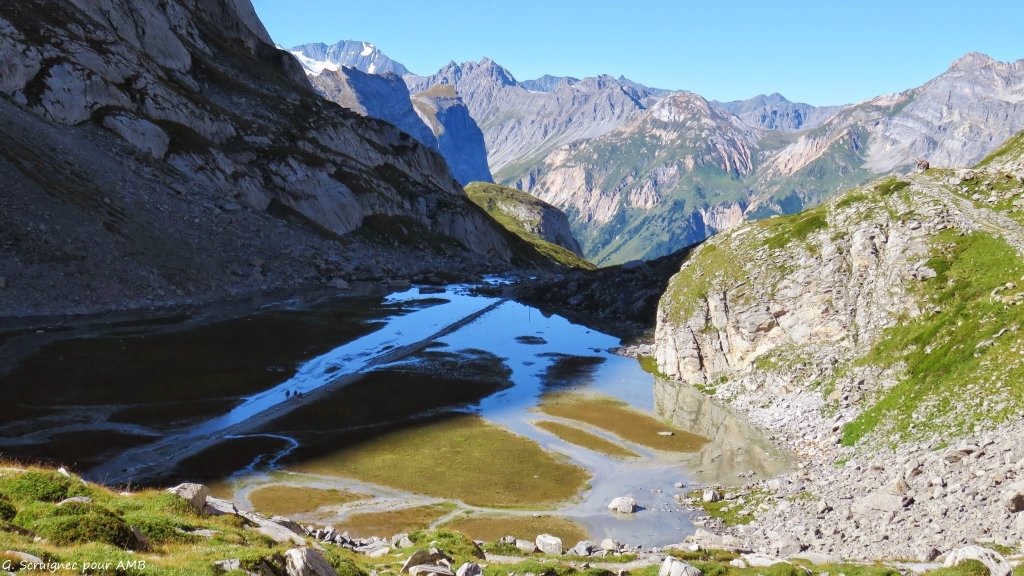
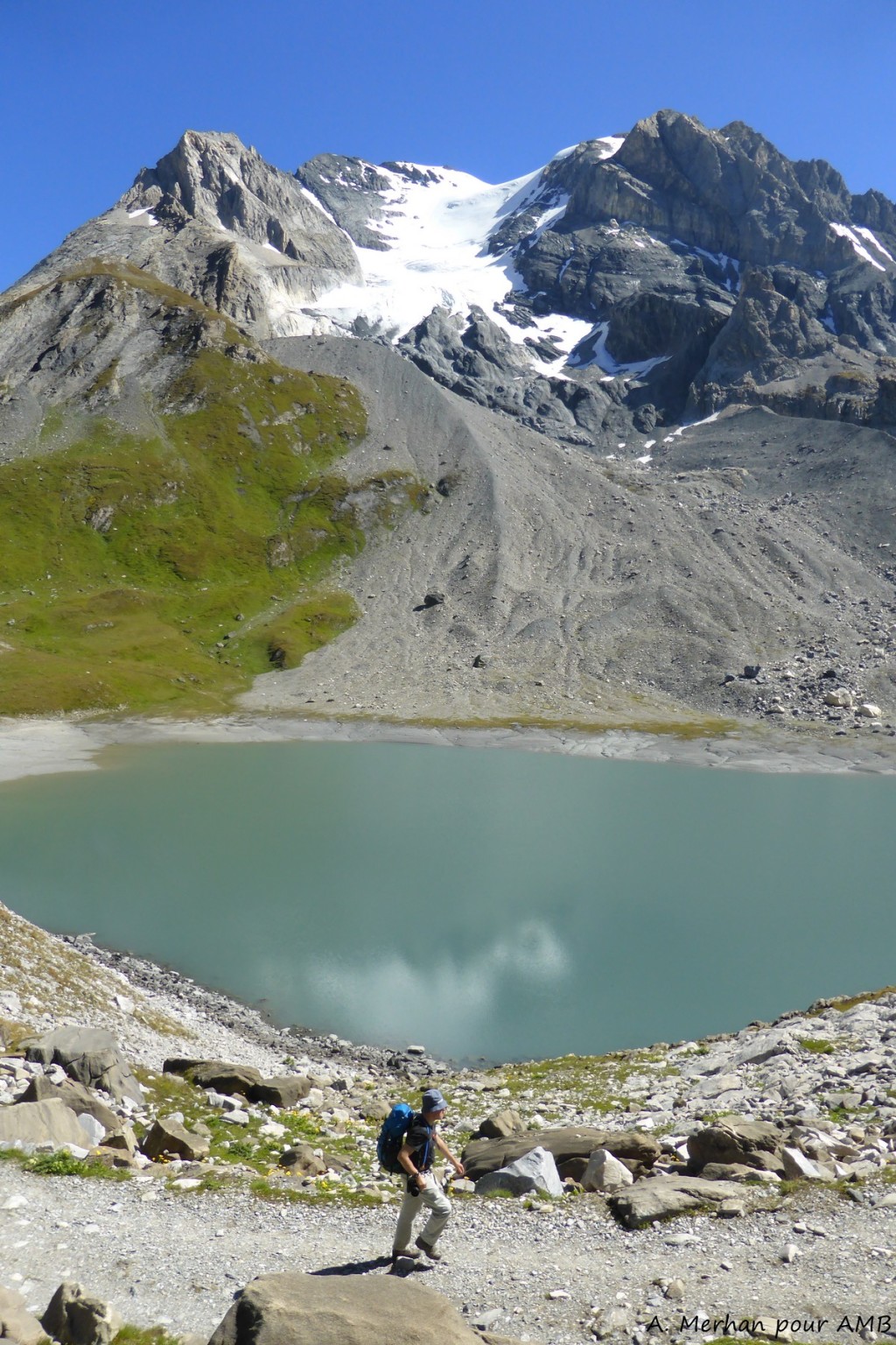
The trip
LEVEL ***
Elevation: +/-250m to 1350m on average per day.
Walking time: 5 to 6 hours on average per day.
Type of trek: mountain route with no technical difficulty.
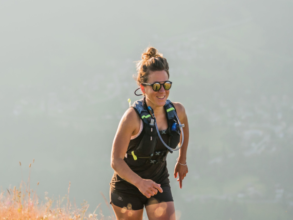
You need to be in a good overall physical condition. Regularly practice an endurance sport such as walking, running, swimming or cycling, 3 to 4 hours a week. Your fitness training will make your walk easier and make it all the more enjoyable. Click here for a description of the different levels: levels of difficulty.
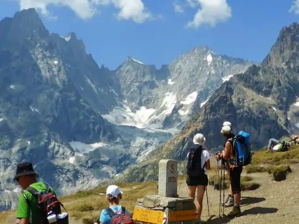
The roadbook provides sufficient information on the itinerary of your hike. However, it is essential to be able to read an 1:25,000 map and to be sufficiently autonomous in the mountains to be able to tackle the itinerary with confidence, whatever the weather (fog, snow, etc.). Guiding is not included in the self-guided package.
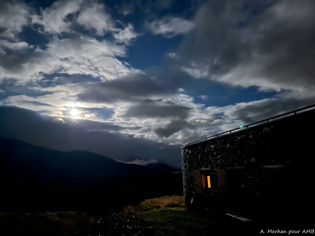
You will be crossing areas with no telephone network. For your own safety, you may wish to bring along a radio or the latest generation telephone with a satellite connection.
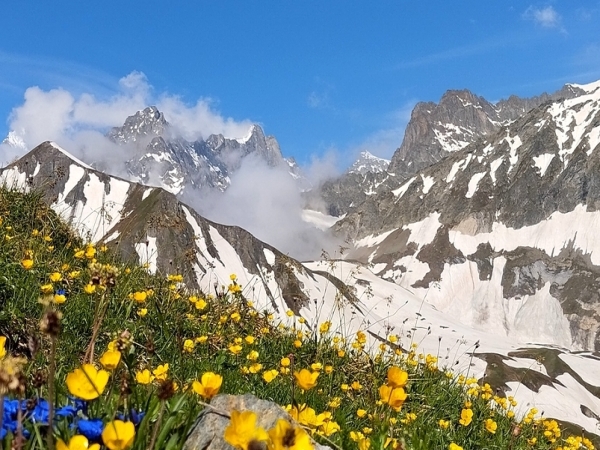
Please note: some névés will be present on the paths until the end of June, particularly on the North slopes. High mountain boots, gaiters and walking poles are essential. Be prepared!
ROAD BOOK
Before departure, we will send you a travel folder containing:
- 2 IGN TOP 25 maps with the route highlighted;
- 1 road-book containing all the information necessary for the trek;
- 1 waterproof map holder;
- Accommodation list.
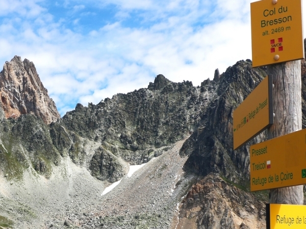
SIGNPOSTS AND WAYMARKS ALONG THE TREK
The tour is well indicated with yellow paint markings and regular signs on the ground.
The trails are also numbered.
It is preferable to know how to read a 1/25000 topographical map.
LUGGAGE TRANSPORT
Two options are available:
without luggage transport: you carry all your luggage.
with luggage transport: your luggage is delivered to your accommodation except on days 3, 5 and 8.
ACCOMMODATION
CLASSIC:
4 nights in a dormitory (refuge), 2 nights in a small dormitory for 4/6 people (refuge) and 2 nights in a room for 2-4 people, depending on the number of participants (refuge and small mountain hotel).
COMFORT:
Up to 5 nights in a 2 or 4-person bedroom (depending on the exact number of participants) in gite, hotel or refuge and 3 nights in refuge, in dormitory.
Hot showers in each accomodation. However, due to increasingly recurrent periods of drought, access to showers is not guaranteed.
MEALS
Breakfast and dinner are provided in each accommodation. Picnics are not included and can be pre-ordered in each accommodation the day before.Please inform us about your food allergies and special diets when booking. We do our best to accommodate special diets (gluten-free, vegetarian, etc.). However, we encourage you to bring some additional products for your own picnics.
MAPS
IGN MAPS 1:25000: Les Arcs 3532ET, Tignes-Val d'Isère 3633ET, Les Trois Vallées 3534OT.


 9 Days
 Self-guided
 With baggage transportation
 Classic (dormitory)
 Level ***
  From 815 €