CHARTREUSE MASSIF self-guided
You, your hiking boots and your map, we take care of the rest...
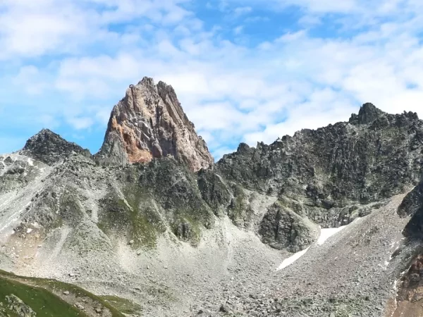
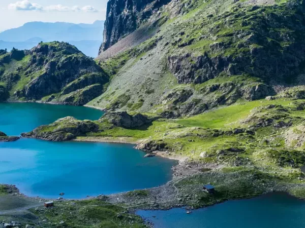
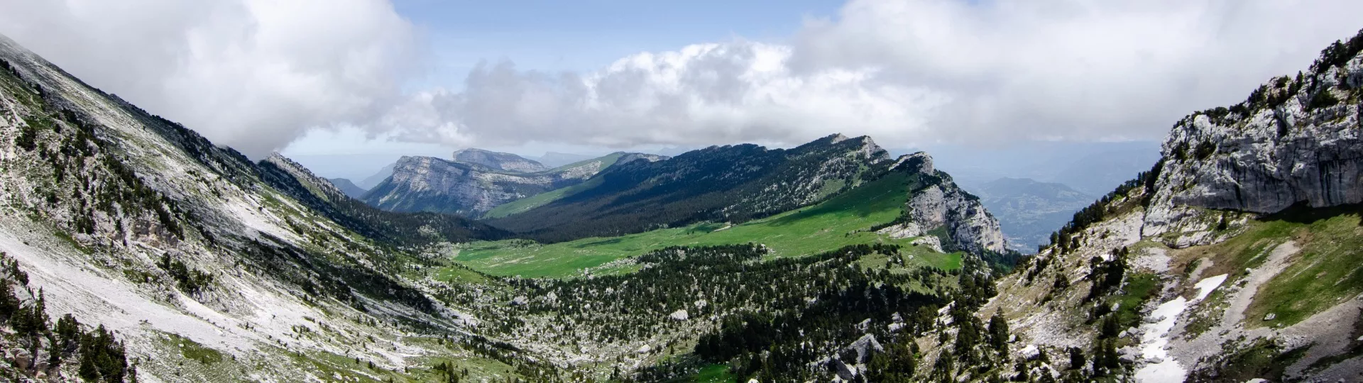
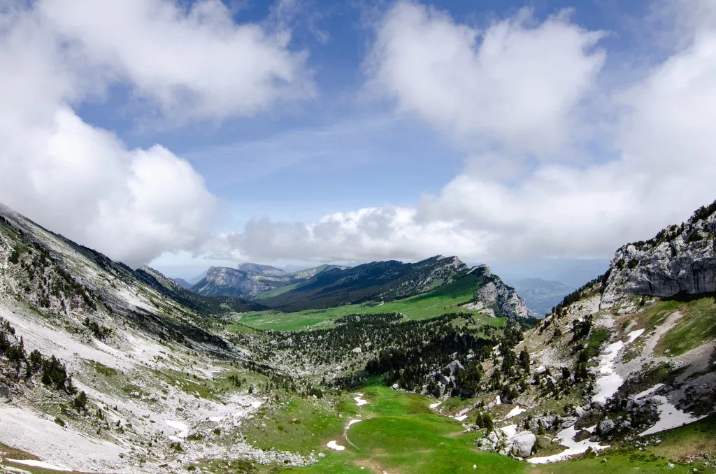
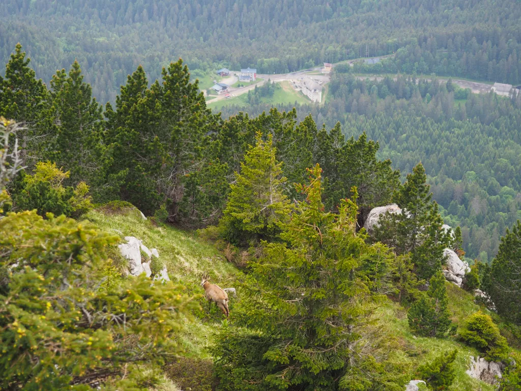
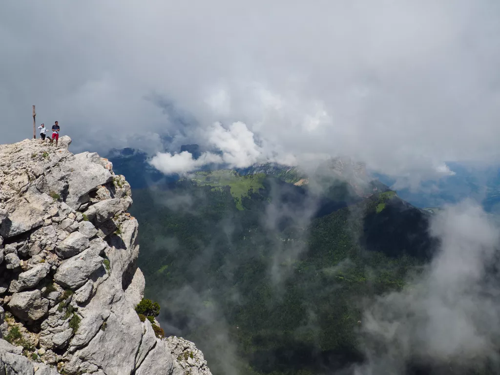
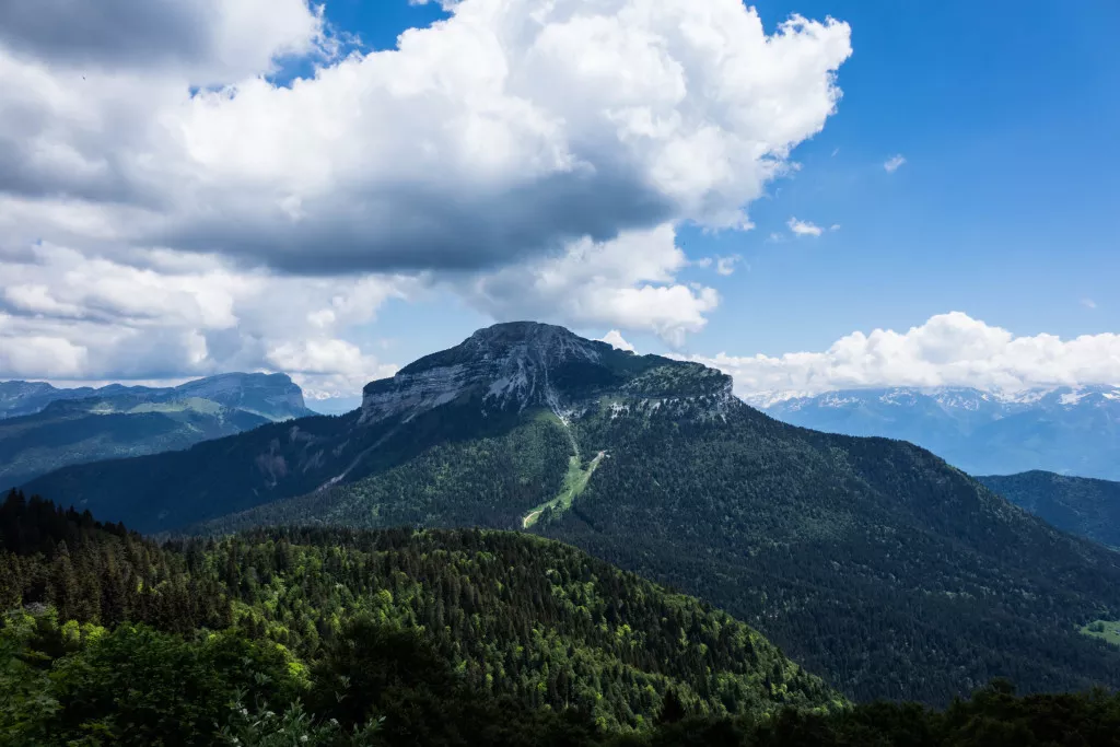
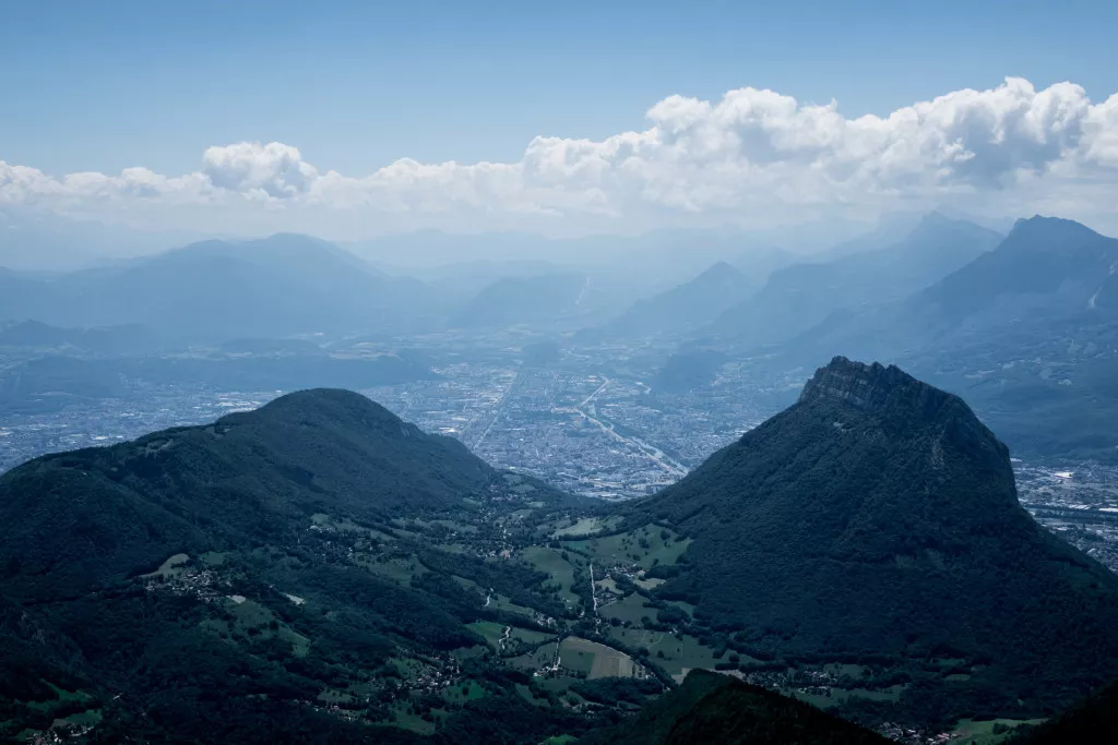
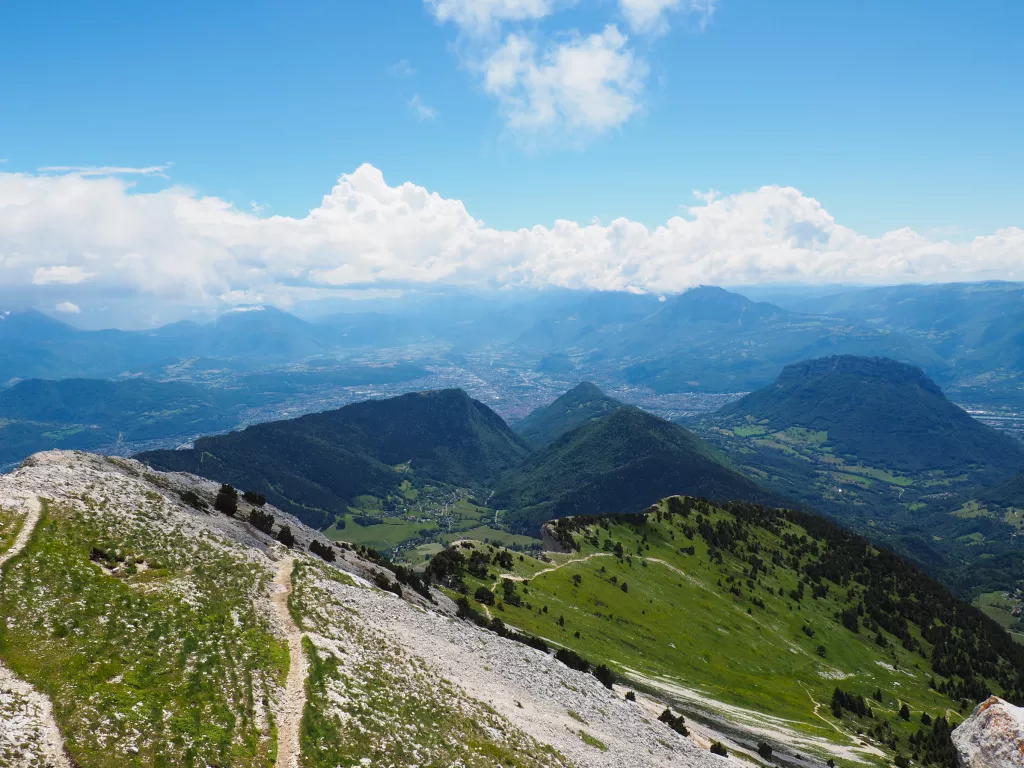
Between two Alpine capitals there is a massif with a wild character that inspired St Bruno to found the Carthusian order. The proposed itinerary allows you to discover all the faces of the massif: plateaus, cliffs, caves, waterfalls, deep forests, monastic life and views of the largest French glacial lake. The ascent of the most beautiful summits offers exceptional views of the valleys and summits of the other Alpine massifs. However, beware, the silence of the monks must not be disturbed in these mountains... The route crosses the massif from Chambéry to Grenoble without transfers, the opportunity for a soft mobility stay and easily accessible by train!
Between two Alpine capitals there is a massif with a wild character that inspired St Bruno to found the Carthusian order. The proposed itinerary allows you to discover all the faces of the massif: pla...
Between two Alpine capitals there is a massif with a wild character that inspired St Bruno to found the Carthusian order. The proposed itinerary allows you to discover all the faces of the massif: plateaus, cliffs, caves, waterfalls, deep forests, monastic life and views of the largest French glacial lake. The ascent of the most beautiful summits offers exceptional views of the valleys and summits of the other Alpine massifs. However, beware, the silence of the monks must not be disturbed in these mountains... The route crosses the massif from Chambéry to Grenoble without transfers, the opportunity for a soft mobility stay and easily accessible by train!
You will love
- A massif that has kept its authentic mountain atmosphere
- Hiking on the most beautiful peaks of the massif
- The alternation between plateaus and vertiginous cliffs
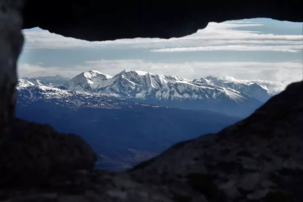
- Panoramic views of the others alpine massifs, Belledonne, Taillefer, Grandes Rousses, Ecrins and the far Mont Blanc.
CHARTREUSE MASSIF self-guided

Level 3 / 4
Secure payment

Day-by-day itinerary
Bus at 8.40 am from Grenoble bus terminal to Saint-Pierre de Chartreuse.
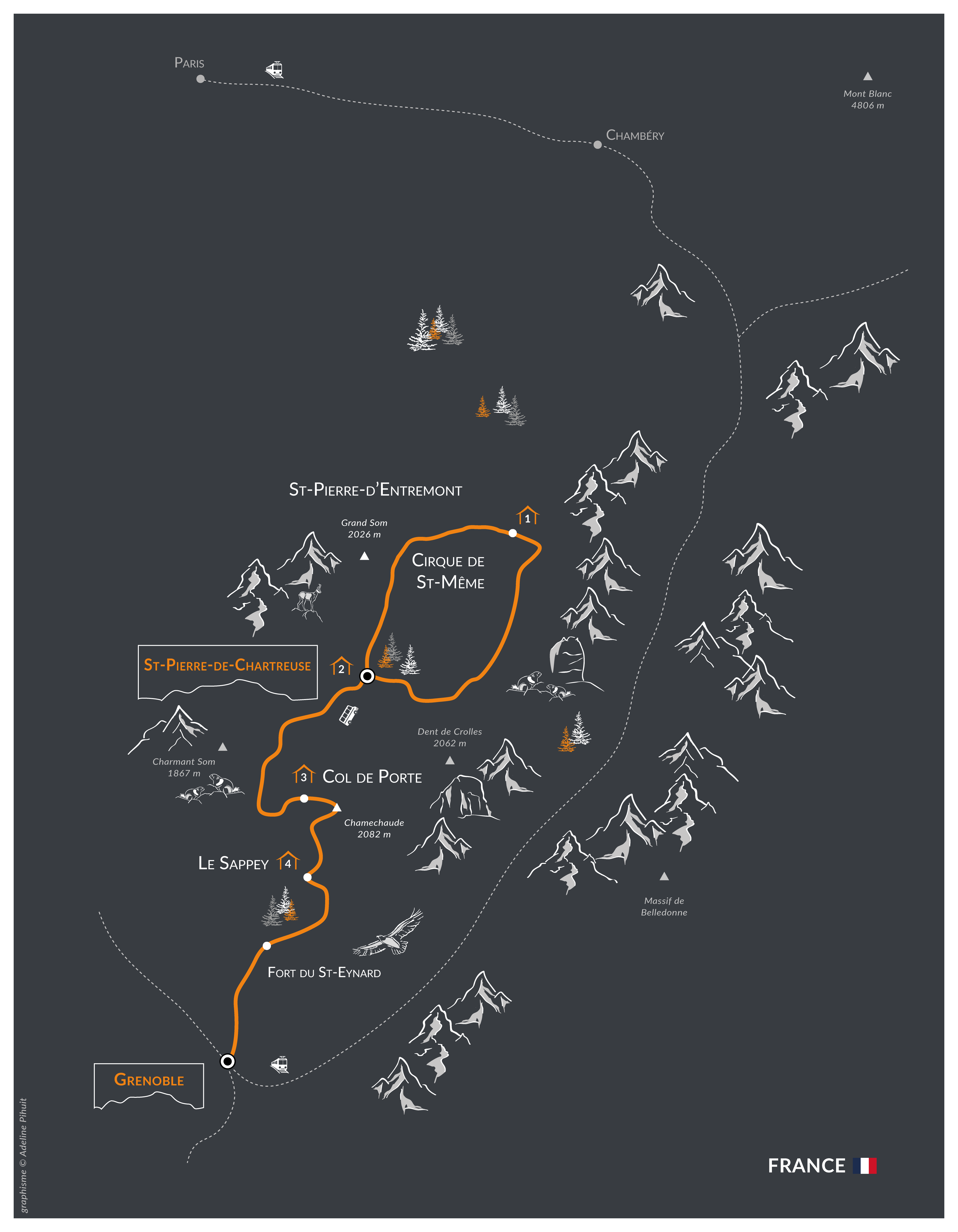
SAINT-PIERRE-DE-CHARTREUSE – CIRQUE DE SAINT-MÊME
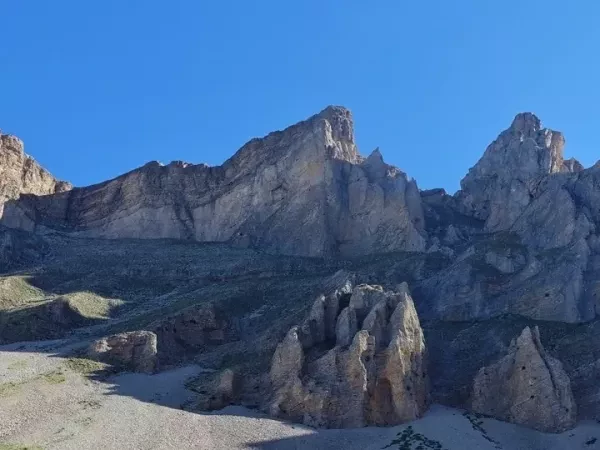
This stage takes you through the heart of the Mountains, pass by the famous Monastère de la grand Chartreuse, connecting Saint-Pierre-de-Chartreuse to the spectacular Cirque de Saint-Même, before continuing along the mountain range’s wild trails. The route alternates between forests, alpine meadows, and steeper sections, offering beautiful views of the Chartreuse mountains. A long, varied, and challenging day of hiking to explore the massif’s wildest landscapes.
6.5 hours walk / Elevation : +/-1200 m / 18km
HAUTS PLATEAUX RESERVE - ST-PIERRE DE CHARTREUSE
The route returns to the Hauts de Chartreuse before a long traverse through the Aulp du Seuil forest and the Marcieu valley, flanked by high cliffs—one of the most beautiful trails in the Chartreuse. At the Col de Bellefont, you can climb up to the Dôme to take in the panoramic view of the Grésivaudan Valley and the Alps, before descending to the village of Saint-Pierre-de-Chartreuse.
Overnight stay in a dormitory-style lodge.
6.5 hours walk / Elevation : +900 m ; -1150 m / 14km
CHARMANT SOM – COL DE PORTE
An ascent leads to the rock slabs of Charmant Som, a small central peak in the Chartreuse Mountains. The trail crosses the alpine pasture and continues along the ridge before descending through the forest to the Col de Porte. You can continue along the ridge to the lovely, pointed summit of La Pinéa. Overnight stay at the Col de Porte in a mountain lodge, in a double or triple room.
6.5 hours walk / Elevation : + 1200 m ; - 700 m without passing by La Pinea summit / 15km
7.5 hours walk / Elevation : + 1300 m ; - 800 m passing by La Pinea summit / 16km
CHAMECHAUDE - LE SAPPEY
Hike to the highest peak of the Chartreuse Mountains—a classic hike for Grenoble residents, in any season and at any time of day! Magnificent panoramic views of the mountain range, Belledonne, the Ecrins, Mont Blanc... The descent leads back to the small village of Le Sappey.
Overnight in Le Sappey.
5.5 hours walk / Elevation : + 800 m ; - 1050 m / 12km
ST-EYNARD - LA BASTILLE - GRENOBLE
After a morning hike along the ridgeline, the route heads toward the forts of Grenoble! First comes Saint-Eynard, perched on the cliffs of the Chartreuse Mountains and overlooking the entire Grésivaudan Valley, followed by a passage through converted caves leading to the Bastille Fort, just outside Grenoble. The final descent through the gardens and fortifications provides a gentle arrival in the capital of the Alps.
6 hours walk / Elevation : + 590 m ; - 1380 m / 15km
Dates and prices
DEPARTURE AND PRICE
Departure from the 30th of may to the 19th of september 2027.
Without luggage transport
525€ per person classic accommodation.
Secure payment
THE PRICE
The price includes:
- Half board from dinner the first evening to breakfast of the last day;
- A road book: description and IGN maps (1 road book per registration up to 4 people. A supplementary road book for groups of 5 or more. Extra road book supplement 10-25€);
- Tourist taxes;
- Organisation and booking fees.
The price does not include:
- Picnic lunches;
- Personal expenses, drinks, touristic visits, etc.;
- Daily baggage transport between accommodation ;
- Guiding : your are responsible for your own safety ;
- Bus transfers (around 6€ per person);
- Travel insurance.
The price is all inclusive from departure to end point.
Technical sheet
LEVEL ***
Elevation: +/- 600m - 1200m approximately per day.
Walking time: 5 to 7 hours per day.
Type of trek: mountain hike on marked trails. Some steps are quite long. Some variant paths require attention.
You have to be in a general good fitness level. Please practice a cardio sport such as hiking, running, cycling, from 3 to 4 hours a week.
Your physical preparation will enable you to enjoy your trek to the maximum.
Please find the description of the levels by clicking here: levels of difficulty
The route in general is well indicated, and the Roadbook provided sufficiently complete to allow you to hike in complete safety. However, it is essential to be able to read an 1:25,000 map and to be sufficiently autonomous in the mountains to be able to tackle the itinerary with confidence, whatever the weather (fog, snow, etc.). Guiding is not included in the self-guided package. You will be crossing areas with no telephone network. For your own safety, you may wish to bring along a radio or the latest generation telephone with a satellite connection.
Please note: some névés may be present on the paths until the end of June, particularly on the North slopes. High mountain boots, gaiters and walking poles are essential. Be prepared!
ROAD BOOK
Before departure, we send you a travel folder containing:
- 2 IGN TOP 25 with the route highlighted.
- 1 road-book containing all the information necessary for the trek.
- 1 waterproof map holder.
- Accommodation list.
SIGNPOSTS AND WAYMARKS ALONG THE TREK
All the paths are well-marked, a part of the trek takes the GR9. You must know how to read a topographical map at 1/25000.
BAGGAGE TRANSPORT
Without baggage transport: you carry your baggage.
ACCOMMODATION
1 nights in a room at an inn or guesthouse,
2 night in a dormitory at a guesthouse,
1 night in a cabin at a campground.
MEALS
Breakfast and dinner are provided in each accommodation.
Picnics are not included and can be pre-ordered at each accomodation in the evening. Possibility to buy picnic supplies in small local shops.
Please let us know if you have any allergies or dietary requirements at the time of booking.
Accommodations do their best to accommodate special diets (gluten-free, vegetarian, etc.). However, we encourage you to bring a few extra items for your own picnics.
MAPS
IGN Top 25 - 3333 OT - Chartreuse Nord and Top 25 - 3334 OT - Chartreuse Sud (1/25 000)
DEPART
From 22nd June to mid September.
Daily departure.
ACCESS TO DEPARTURE POINT
Bus transfer from Grenoble bus T40 terminal at 8.40 am.
BY TRAIN
Direct TGV from Paris
Local trains from Chambéry, Lyon...
Timetables must be checked on www.oui.sncf
CAR-SHARING
Get in touch with people to share a lift! Here are some websites: www.blablacar.fr www.roulezmalin.com
CLOSEST AIRPORTS
Geneva (GVA)
2 hour by car to Chambéry.
Bus and minibus services direct to your accommodation (25-35€ pp each way)
Lyon (LYS)
1h30 by car to Grenoble.
Train every 2 hours to Grenoble, 4h15 journey (40-45€ pp return)
Paris (PAR)
7 hours by car to Chambéry.
End point during the afternoon at Grenoble train station.
ACCOMMODATION BEFORE AND AFTER
By request we can book a night before/after the trek.
Grenoble : https://www.residhotel.com/residence/grenoble-le-central-gare/
CONTACT US
If you are late please contact the agency as soon as possible on: +33 (0)4 50 79 09 16 or +33 (0)6 42 49 76 07
EQUIPMENT LIST
Clothing
- Walking trousers
- Shorts (Bikini/swimsuit, just in case!)
- Breathable or merino wool t-shirts
- Breathable or merino wool leggings
- Fleece or jumper
- Lightweight down jacket
- Wind stopper or Goretex jacket
- Waterproof poncho + gaiters or Goretex trousers + waterproof rucksack cover
- Pair of gloves and a warm hat
- Sun hat or baseball cap
- Walking socks (1 pair per day)
- Sturdy walking boots with a good sole, already broken in
- 1 change of clothes for the evening
- A pair of comfortable shoes for the evening
Other Equipment
- Toilet bag
- Quick drying towel
- Sunglasses and sun cream
- Water bottle or Camelback (1.5 litre minimum)
- Knife, fork and spoon
- Plastic lunch box/plate for your picnic lunches (0.40L to 0.50L)
- Plastic cup for coffee
- Small First Aid kit (antihistamine, ibuprofen, Compeed type blister pads...)
- Survival blanket
- Head torch or hand torch
- Sleeping bag liner sheet and pillowcase (blankets provided at accommodation)
- Two adjustable walking poles (highly recommended)
- Identity card or passport
BACKPACK
Bring a comfortable backpack of 30 to 40 litres for your personal belongings for the day (warm clothes, waterproofs, water, plate and cutlery for your picnic, sunscreen and your identity papers) and please keep a little room to carry a picnic and snacks.